Earth Science · 2026-08-21
Petermann Glacier: A Piece of Ice Bigger Than Manhattan Just Broke Off Greenland — and a Radar Satellite Caught It Happening
On August 4, 2026, a piece of Greenland the size of Manhattan silently slid into the ocean.
No earthquake. No warning siren. Just 76 square kilometres of ancient ice — compressed over thousands of years — quietly detaching from one of the world's most watched glaciers. It drifted into Nares Strait while most of the planet was asleep.
A satellite 700 kilometres overhead caught every frame.
What happened at Petermann Glacier?
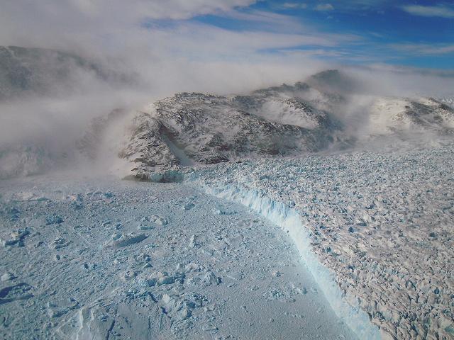
Petermann Glacier in northwest Greenland — one of the largest outlet glaciers on Earth — lost a 76 square kilometre section of its floating ice tongue on August 4, 2026. Europe's Copernicus Sentinel-1 satellite detected the calving event in near real-time, capturing the moment the ice broke free and began its slow drift toward warmer water.
Seventy-six square kilometres. Manhattan Island is 59. Bermuda is 54. This single piece of ice is larger than either of them — and it's now floating free in the Arctic Ocean.
Has this happened before?
Yes. And the pattern is what scientists are really watching.
Petermann has been breaking apart for decades. In 2010, it lost 260 square kilometres — the biggest Arctic calving event in 50 years at the time. In 2012, another 130 square kilometres broke free. Now 2026 adds another entry to the record. The floating ice tongue that once stretched over 80 kilometres into Nares Strait has been retreating, year by year, toward land.
That matters more than any single calving event. The floating tongue acts like a cork in a bottle. Take the cork out, and what's behind it — the land-based ice, the kind that actually raises sea levels when it melts — starts to flow faster toward the ocean.
Largest Arctic calving in half a century. A slab four times the size of this week's event breaks away. Scientists begin intensive monitoring.
The ice tongue shrinks further. Glacier velocity measurements begin showing acceleration in the ice behind it.
Radar satellite captures the calving event in near real-time. Ice tongue continues its multi-decade retreat toward the grounding line.
How does a satellite see through an Arctic storm at 4 a.m.?
This is the part that genuinely surprises people.
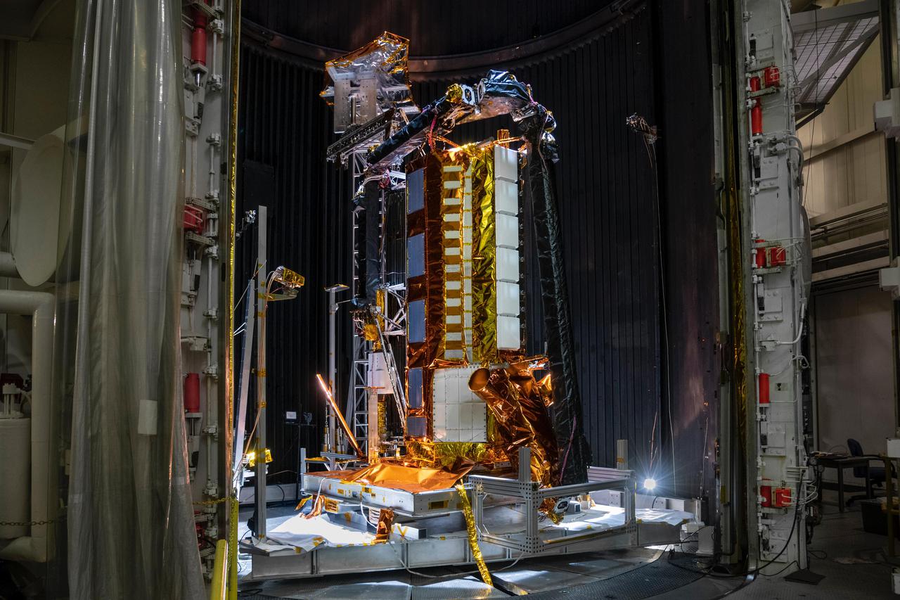
Sentinel-1 doesn't use a camera. It uses radar. The satellite fires microwave pulses at the ground and measures how they bounce back — a technique called Synthetic Aperture Radar, or SAR. Clouds don't stop it. Total polar darkness doesn't stop it. Blizzards don't stop it. At any hour, in any weather, Sentinel-1 sees the glacier as clearly as if it were noon on a cloudless day.
Without this technology, we'd find out about calving events weeks later — when a ship reported a new iceberg. Now we watch the poles in near real-time, from orbit, for free. The Copernicus programme makes the data publicly available. Any researcher anywhere in the world can download yesterday's scan of Petermann Glacier and measure it themselves.
That kind of transparency is new. And it's changing everything we know about how fast the planet is changing. You can see the Earth observation satellites doing this work right now on the SkyLens live tracker — over 200 of them are active today.
Should we be worried about sea level rise?
Here's where the science matters more than the headlines.
The iceberg that just broke off won't directly raise sea levels — floating ice is already displacing water. What matters is what happens to the glacier behind it. The Greenland ice sheet holds enough frozen water to raise global sea levels by approximately 7 metres — 23 feet — if it melted entirely. That's enough to swallow Miami, Shanghai, Amsterdam, and Mumbai at their current elevations.
Full Greenland melt would take centuries under current projections — scientists are not predicting sudden collapse. However: the annual rate of ice loss from Greenland has roughly doubled since the 1990s. The trend is the story, not any single calving event.
Petermann is one of the fastest-flowing glaciers on the island. It drains roughly 4% of the entire Greenland ice sheet. When its floating tongue weakens, that flow rate goes up.
What does 76 km² of floating ice actually look like?
It's hard to visualize. So try this.
Picture Manhattan Island. Now make it bigger. Add half of Central Park on top. That's the piece of ice now drifting through Nares Strait — the narrow channel between Greenland and Ellesmere Island in the Canadian Arctic. It's thick enough that it won't melt immediately. Depending on ocean temperature and currents, a slab this size can survive for months. Some make it as far south as the North Atlantic shipping lanes.
Ships track these things. The International Ice Patrol — the same organisation born after the Titanic — monitors iceberg drift to this day.
Scale: How big is 76 km²?
Why does any of this show up in a space tracker?
Because this story doesn't exist without the satellites.
The ground truth for climate science now lives in orbit. Petermann's calving was caught by a radar satellite, measured by altimetry satellites, and will be tracked by ocean-colour satellites as the meltwater disperses. Scientists studying Greenland spend as much time downloading orbital data as they do drilling ice cores on the ground.
There are currently more than 16,000 objects tracked in Earth orbit — and among them, over 200 Earth-observation satellites are watching our planet's surface continuously. They document floods, fires, droughts, crop failures, volcanic eruptions, and yes, the slow-motion dismantling of the Arctic's ice. Explore what's overhead right now on the SkyLens learn page, or browse more space stories in our archive.
The glacier doesn't know we're watching. But we are. And the record is clear: Petermann is smaller than it was in 2010. Smaller than it was in 2012. Smaller than it was last year. The satellite doesn't editorialize. It just measures.
SkyLens editorial — live CelesTrak + NASA/JPL data (16106 objects)
Related stories